Geoalert partner dayDecember 23, TashkentAnalyze real world objects with AI-mapping
Geoalert partner dayDecember 23, TashkentAnalyze real world objects with AI-mapping
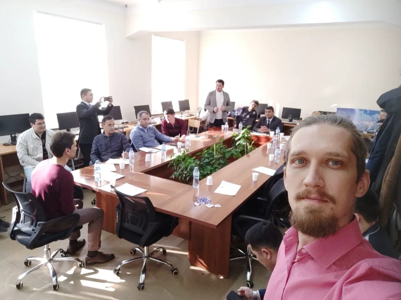
We dedicate the special day to the meetings with partners, networking and workshops.
Join us on this day. We share some highlights of the agenda and activities – to be updated.
Towards global AI-mapping models
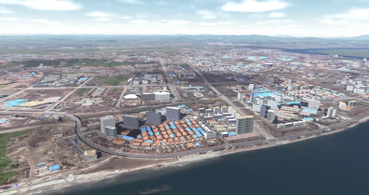
Geoalert began as a project focused on extracting building footprints for Emergency mapping. Since then, numerous datasets, including Google and Microsoft Open Buildings, have been published. The Geoalert model (Mapflow.ai) has since evolved to generate 3D building footprints and expanded to analyse aerial imagery, achieving a new level of detalization and accuracy. We'll discuss the new trands of the global foundational models and techniques, data sources, and applications used to analyze imagery at scale across real estate, telecommunications, cadastre, and other domains.
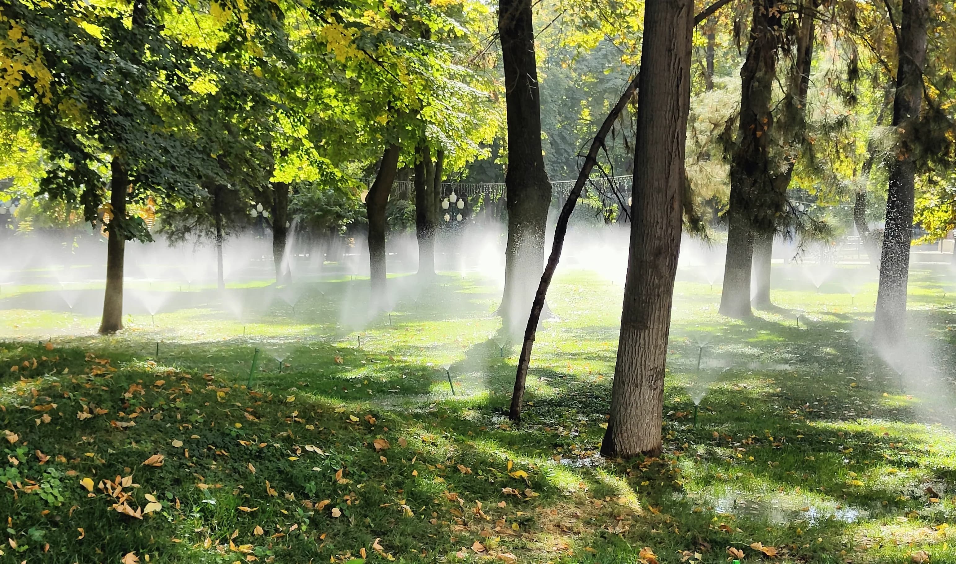
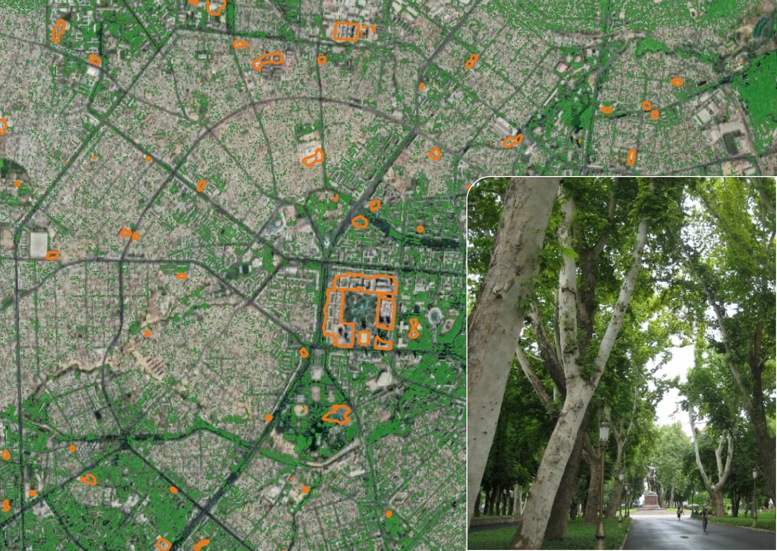
Vegetation mapping - downshifting the data prices
From powerline risk detection to urban economics, trees are among the key assets that benefit from aerial monitoring. Recently, it’s become clear that clients don’t need to overspend on data to tackle many of these tasks. Scalable, data-agnostic AI mapping with satellite imagery offers a highly cost-effective solution, but can it truly compete with laser scanning and dense point clouds? And where’s the trade-off?
Multiplatform design and cooperation
Everyone is building a platform. In astronomy, it's said that a network of telescopes outperforms the world's largest single telescope. Could a solution built on several interconnected platforms be so effective? And how well does this approach work in real-life scenarios? We’ll dive into case studies and conduct as many live demos as time allows.

Program
Opening and presentation by Geoalert CEO
Partner session: Earth Observation and GIS apps, Environmental monitoring, Telco maps and more.
Lunch
Geoalert Demo
Workshops on GIS and AI tools
Q&A and networking
Tashkent city tour