Call to projects for Uzbekistan –
Leverage GIS and AI to make the Urban Planning smarter
Call to projects for Uzbekistan –
Leverage GIS and AI to make the Urban Planning smarter
The path to open data is hampered by restrictions on maps and VHR aerial imagery, but open sources of geospatial data are now starting to be formed in Central Asian countries. As this unstoppable process of informmation sharing evolves, there are hopes that developers and reseachers will leverage the use of technologies for better planning, transparency and environmnet protection.
We shared some ideas of the project works to make impact. Take on one of these challenges or propose your own project. Suggest your ideas, get inspired by what is done by others.


Read more about this challenge on the GISGeo community web-site(in Russian)
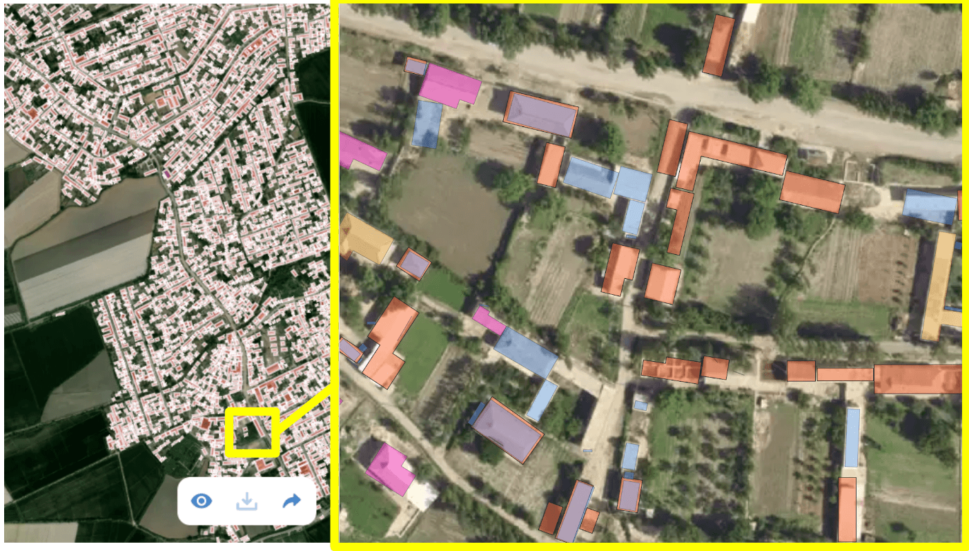
Cadastral map
Do you now the number of residential buildings in Uzbekistan? And how many of them are properly resigtered and supplied with infrastructure connections? Generate building footprints using recent satellite imagery, copare them with the open cadastral data to analyze the landuse for real estate and land property services.
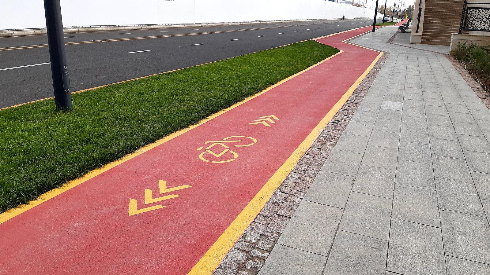
Cycle map
Is Tashkent an ideal city for сycling? It's flat and the season is long. However it definately lacks the cysling infrastructure: paths with marks, parking lots, etc. Would the mapping of biking paths and solving the issues make some positive impact on the public transport development in Tashkent and other cities whereas the Air pollution because of the growing number of cars is becoming yet another problem?
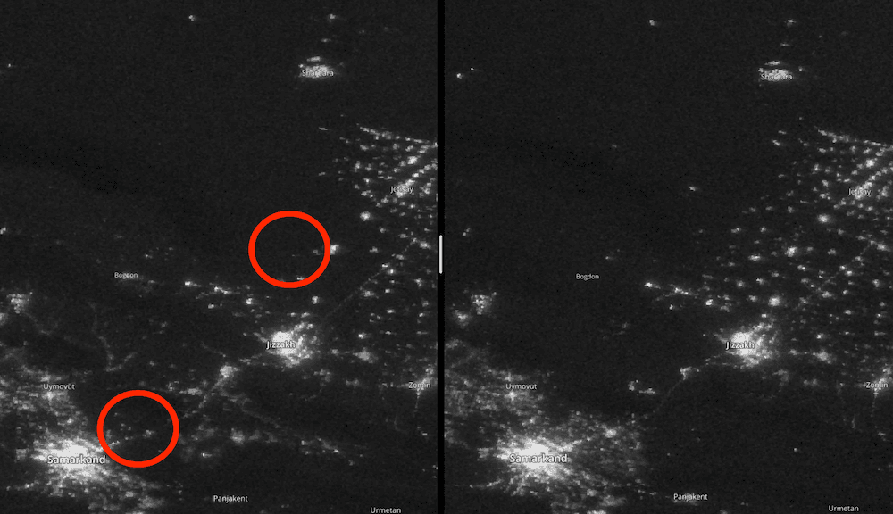
Power outages detection map
Detect significant changes in nighttime imagery and alert about possible power outages in Uzbekistan populated places, especially during the winter time.
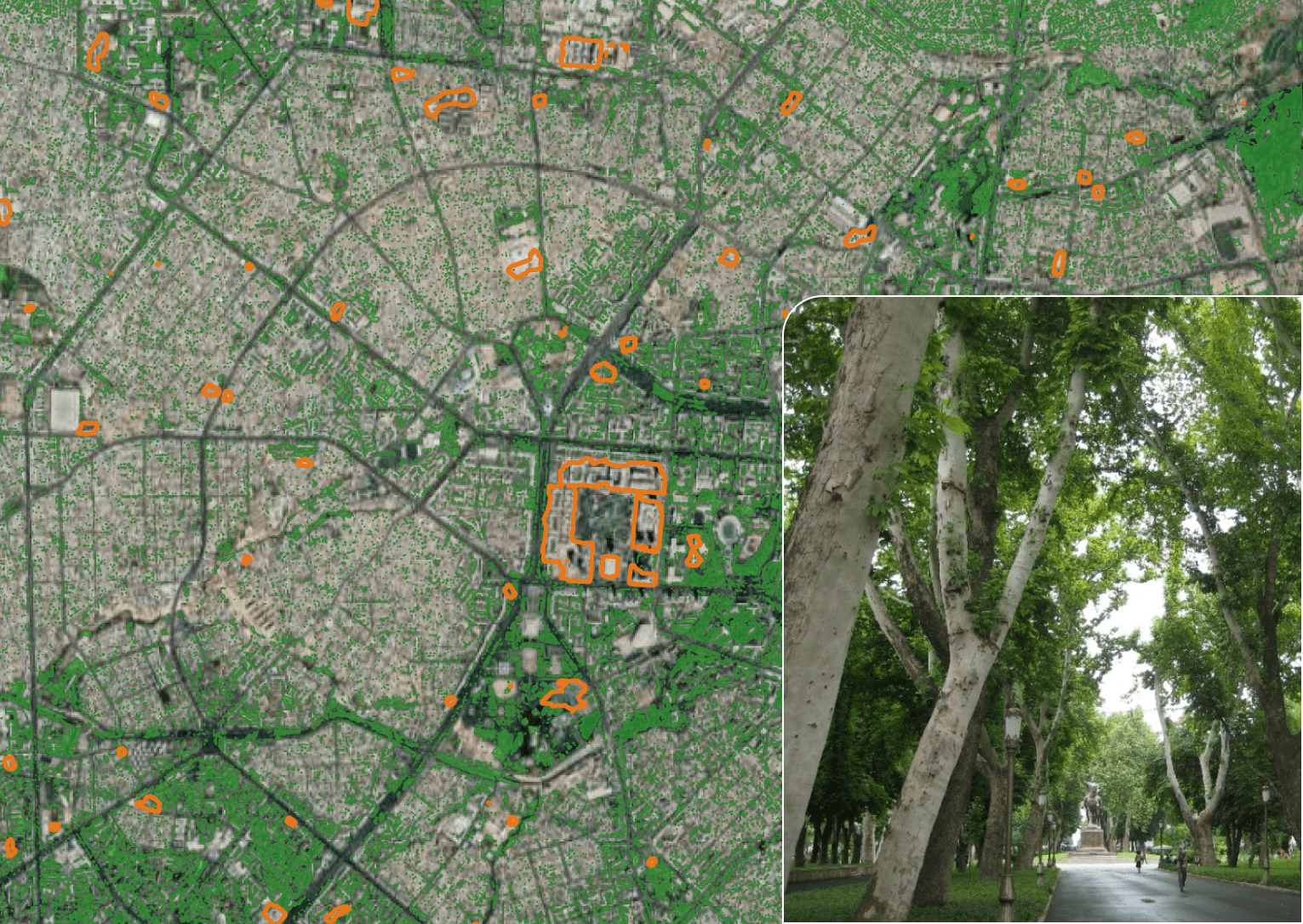
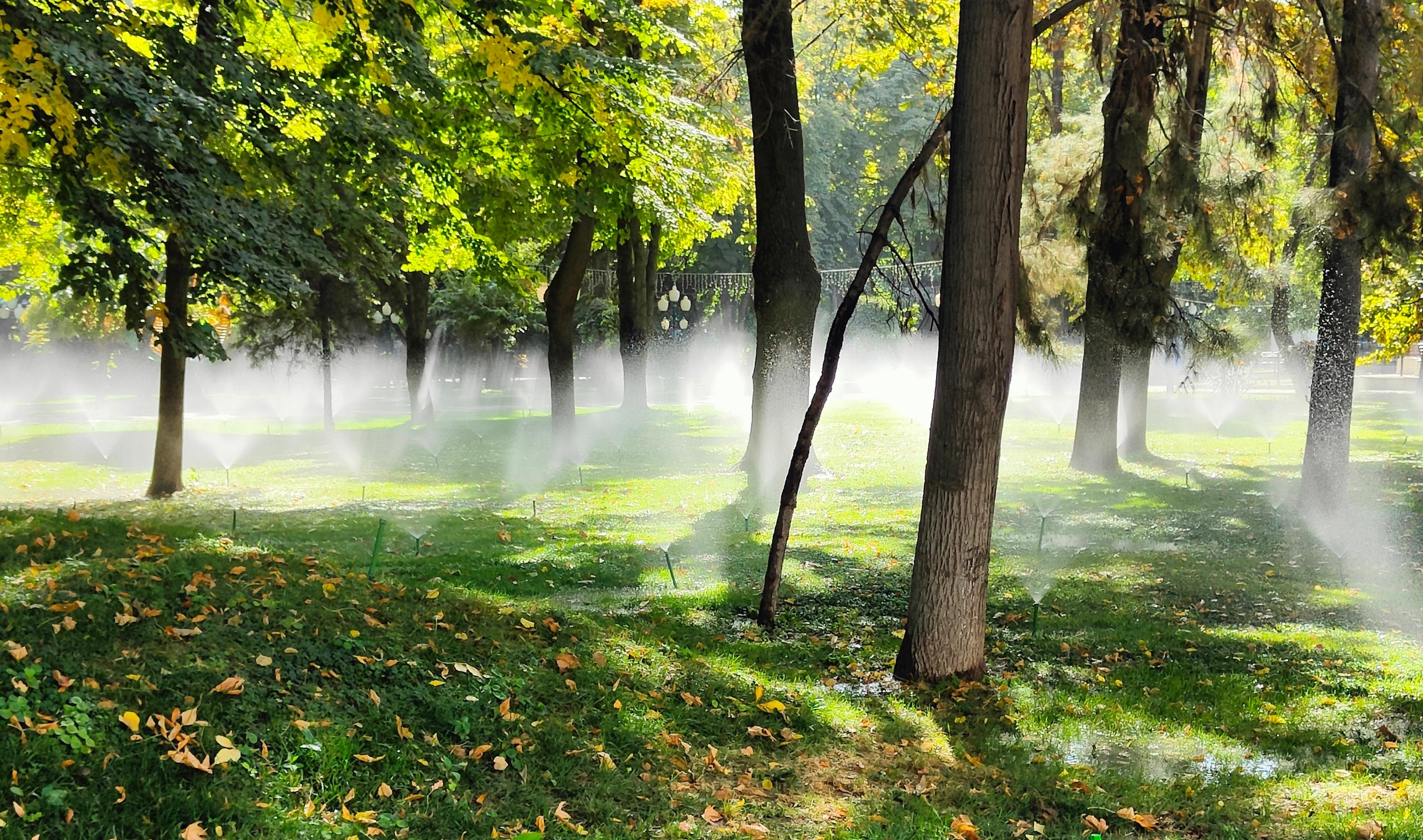
Vegetation map
What are the greenest areas in Tashkent city? To walk through or to look for an apartment. Where are the endegered old trees due to the ongoing construction, while the construction is one of the main contributers to air pollution and one of the main drivers to city economy. Will you manage to compare the datasets and find the valuable insights?